I'm a California-based conservation professional who's passionate about using maps and data to inform land management and conservation policies locally and abroad. My GIS work focuses on building compelling visuals that help people understand our landscapes in meaningful ways.
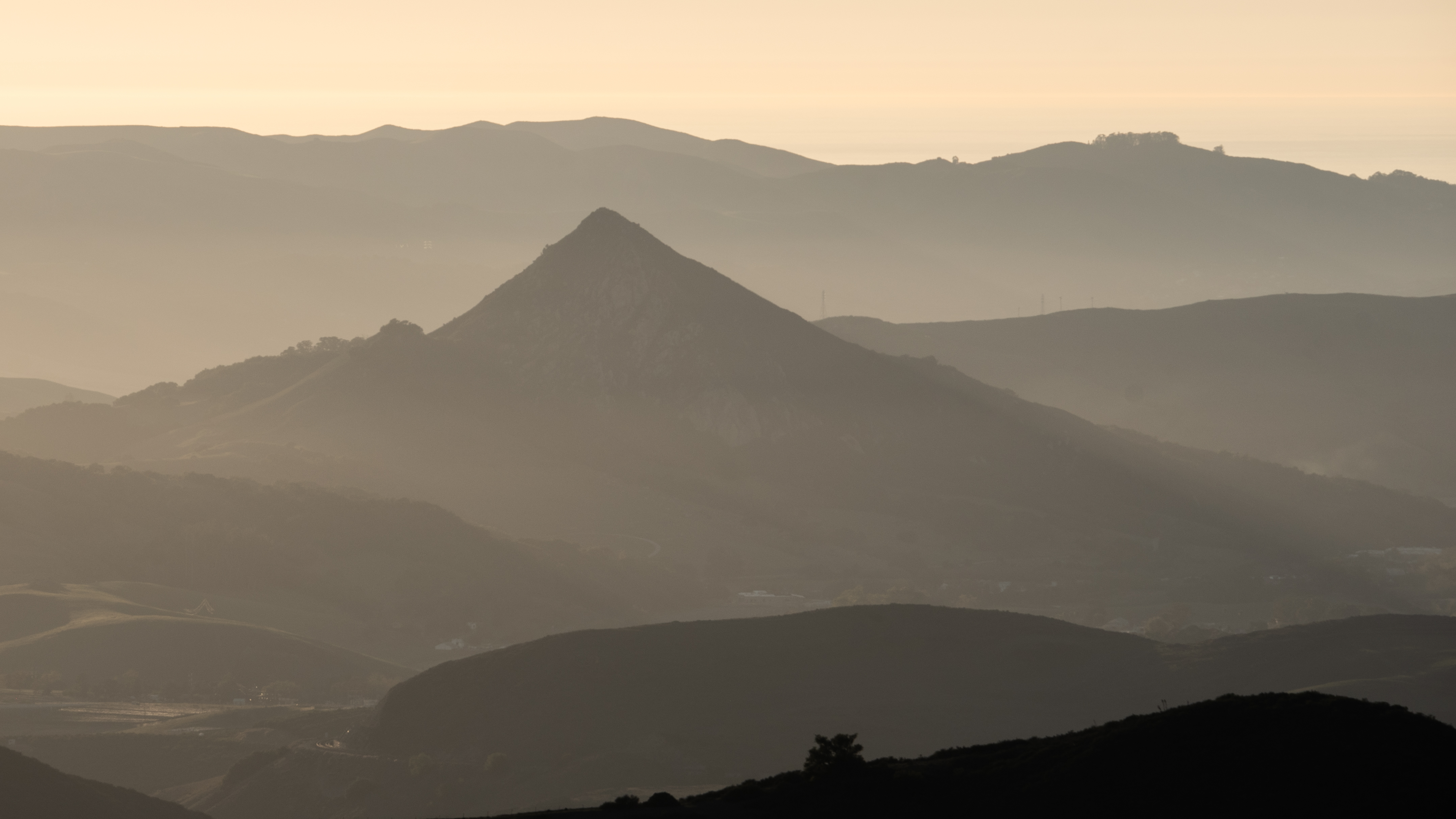
As far back as I can remember, I've always loved maps and the unique perspective they give us of this immense, beautiful planet we call home. For over a decade, I've carried that love for maps and the places they represent into my career.
Over the years, I've mapped everything from wildfire severity in ancient sequoia groves to oil drilling across central and southern California to endangered California condor roosting areas in their current range. I use tools like QGIS, Google Earth Engine, and Python to extract insights and communicate them clearly.
In late 2023, I started the Wildland Mapping Institute (WMI), a small organization dedicated to helping conservation groups and researchers with GIS projects to advance wildland conservation, research, and education. I take on a limited number of projects each year through WMI, and I also maintain some long-term initiatives such as the What's Burning web app.
Outside of work, I enjoy looking for rare plants, photographing landscapes, and spending time with my partner, Gabi, our dog, Leela, and our cat, Kit.
I'm always interested in new collaborations and meaningful projects.